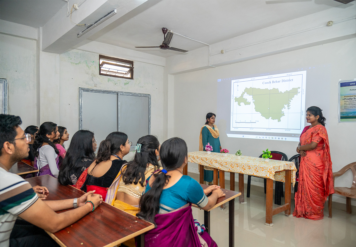
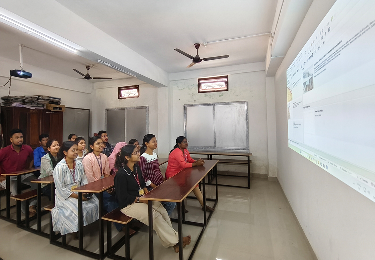
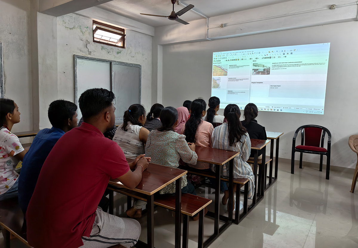
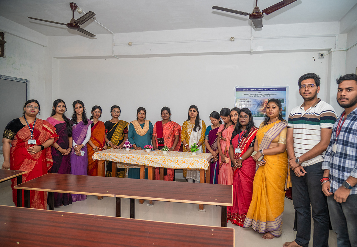
The Department of Geography at University B.T. & Evening College established an Advanced Remote Sensing (RS) and Geographic Information System (GIS) Laboratory in 2025 to enhance practical learning in geospatial technologies. The laboratory is well equipped with modern computer facilities and smart projectors, creating an effective environment for teaching and hands-on training. Under the guidance of experienced faculty members, students gain practical knowledge of various GIS techniques such as geo-referencing, digitization, raster and vector analysis, raster clipping, etc. While in Remote Sensing, students also learn supervised classification for Land Use Land Cover (LULC) mapping and the analysis of important spectral indices such as NDVI, NDBI, SAVI, NDWI, and other remote sensing–based indices for environmental and land-use analysis. Satellite data for these practical exercises are collected from reliable platforms like USGS Earth Explorer and the Bhuvan Geoportal. The laboratory plays an important role in strengthening students’ analytical skills and preparing them for advanced studies and careers in geospatial science.